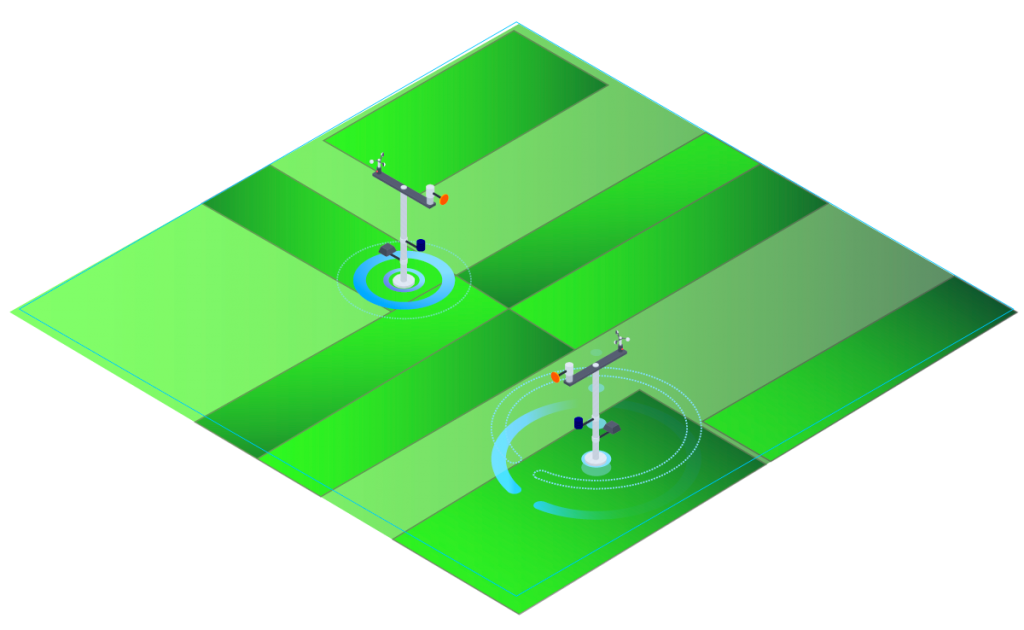
E-STRATOS platform integrates different data sources and provides a detailed description of the crop situation. Data are filtered and ordered so that the user can interpret them and decide accordingly
A greater precision
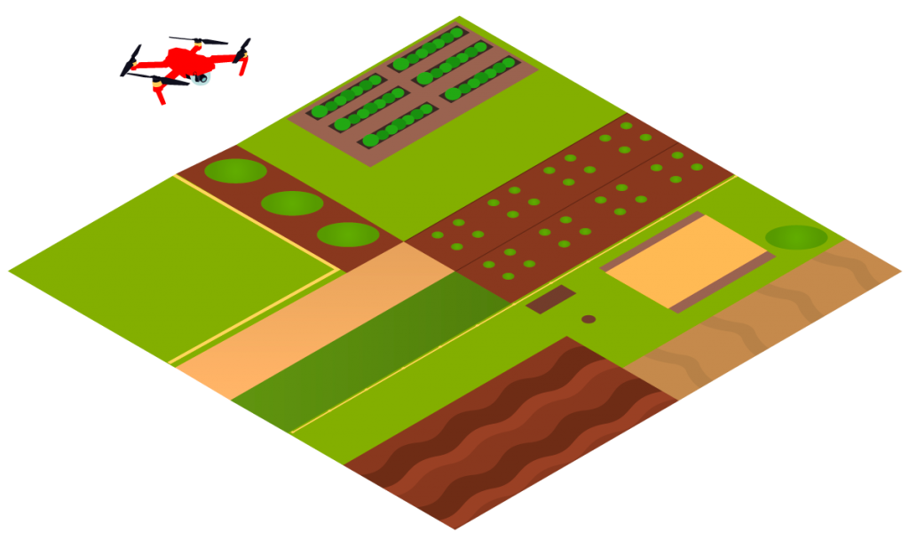
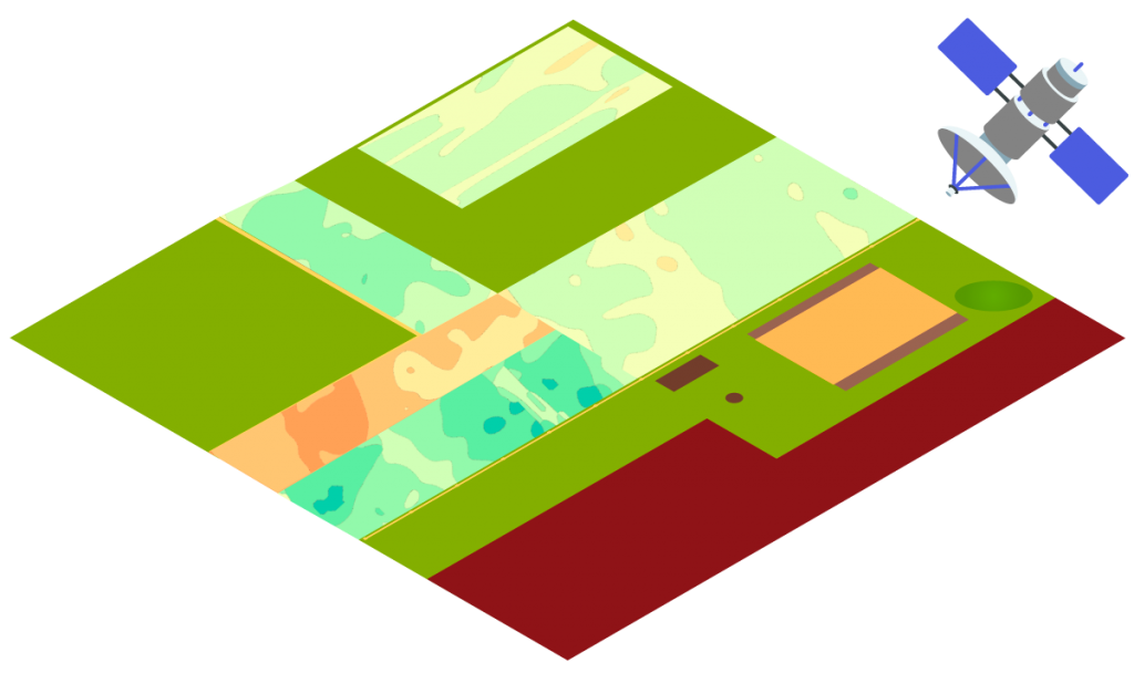
Satellite images we offer have a resolution of up to 3 metres, they are weekly processed and stored in the profile of the user’s plot unit. The tool also allows integrating captures obtained by other sources (drones, other satellites…) in the same time line
Updated and verified information
All information offered by the platform is previously filtered through our quality control algorithms to avoid erroneous data interpretations
Visual and multilayer
Information is shown through graphs and maps in an interactive and legible way. We adapt viewing to the needs of each client to make interpretation easier
Applications
The platform has been designed to give specific information of any land. Our clients include from farmers or technical advisers to public administrations or companies from the industrial sector. The product is customised in terms of client requirements